
A Transnational Gateway
to South Sumatera
Tanjung Carat Seaport represents the pinnacle of Indonesia's maritime ambition. Situated in the strategic waters of Banyuasin, it is designed to be the primary deep-water gateway for South Sumatera's abundant commodities to reach global markets directly.
The project is part of a broader national initiative to decentralize logistics and reduce reliance on overcrowded transit points. By offering direct international connectivity, Tanjung Carat significantly lowers shipping costs and increases the competitiveness of regional industries.
"Tanjung Carat is more than just infrastructure; it's the engine for South Sumatera's next century of economic prosperity."
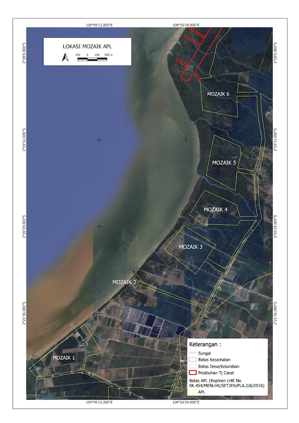
Project Location
Designated Port Development Zone
Strategic Mandate
National Strategic Project
Designated as a Proyek Strategis Nasional (PSN), ensuring high-level government support, streamlined regulatory processes, and priority funding status.
Location Context
Located in Banyuasin, South Sumatera, the Tanjung Carat Port development spans over 229 hectares of integrated maritime infrastructure, including dedicated jetty, operational land facilities, and logistics backup zones.
Development Vision
To become the primary International Logistics Hub in the South Sumatera region, integrating industrial zones with advanced maritime facilities.
1.2B USD
Total estimated value of all stages of the project
5+ Years
Development of the port divided by 3 consecutive stages
230 ha
Total area of the port and land facilities
Direct
International Connectivity